Links - See my new photography website - Westernvisions.net___
JOHN CAMPBELL PHOTOGRAPHY
:
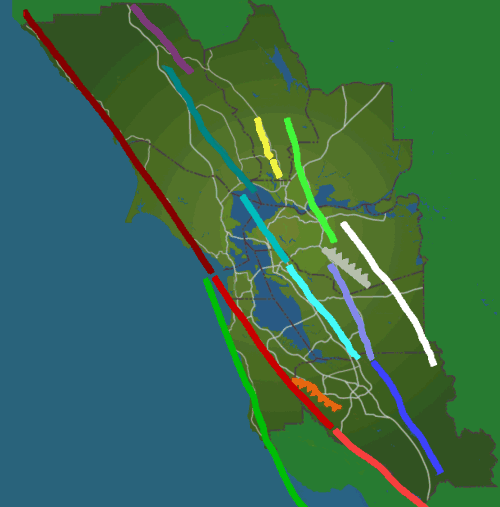
EARTHQUAKES: Worldwide Earthquakes (United States Geological Survey - USGS) Recent Earthquakes in California and Nevada (USGS) Bay Area Shaking Hazard Maps (Association of Bay Area Governments - ABAG) Bay Area Earthquake Hazards (USGS) Bay Area Liquefaction Hazard Maps (ABAG) California Seismic Hazard Zones (California Geological Survey - CGS, formerly California Division of Mines and Geology) Soil Liquefaction (University of Washington) Earthquake Preparedness Seismic Hazards Publication
LANDSLIDES: Landslides - General Information (USGS) National Landslide Information Center (USGS) Bay Area Landslide Maps (USGS) Landslide Recognition and Safety Guidelines (USGS)
RAINFALL INFORMATION:
National Oceanic and Atmospheric Association Bay Area Rainfall Information (National Weather Service) California Rainfall Maps (California Department of Water Resources) General Weather Information (Golden Gate Weather Service) Weather Channel US National Weather Service
MAPS AND PHOTOGRAPHS: Landslide Photographs (USGS) Geological Hazards Photographs (Geo-Tech Imagery)
MISCELLANEOUS: Satellite Imagery Available Fill San Francisco Business Times
PERSONAL FAVORITES: Kaui by Land Sea and Air Canyonlands by Night Photographers Guide to New Mexico Canyon Light Photography Fly Fishing Ranches Ultimate Fly Fishing Provo River Outfitters Sundance Resort - Utah Save Mount Diablo Wild by Nature Photography
John Campbell Photography
WesternVisions.net
Copyright 1/2008 John Campbell
Please contact us for further information.